Waikapuna

Photo Credit: Shalan Crysdale
The voluntary sale and acquisition of 2,317 acres at Waikapuna encompasses the entirety of Kahilipalinui and Kahilipaliiki Ahupuaa of Kau Moku on Hawaii Island. This purchase covers over 2.3 miles of the Ala Kahakai National Historic Trail - including what is traditionally known as the Ala Loa. An ancient fishing village of Waikapuna exists here and the acquisition of this wahi pana protects hundreds of intact pre-contact Native Hawaiian burial and non-burial cultural sites.
“The association is not about protecting a hiking trail, its mission is to protect all of the natural resources around the trail and to honor the path of our ancestors—to bring the community and the descendants together, to build those connections.”
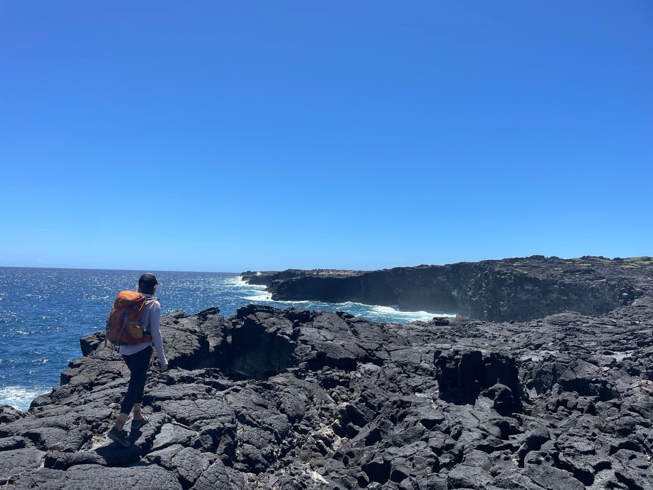
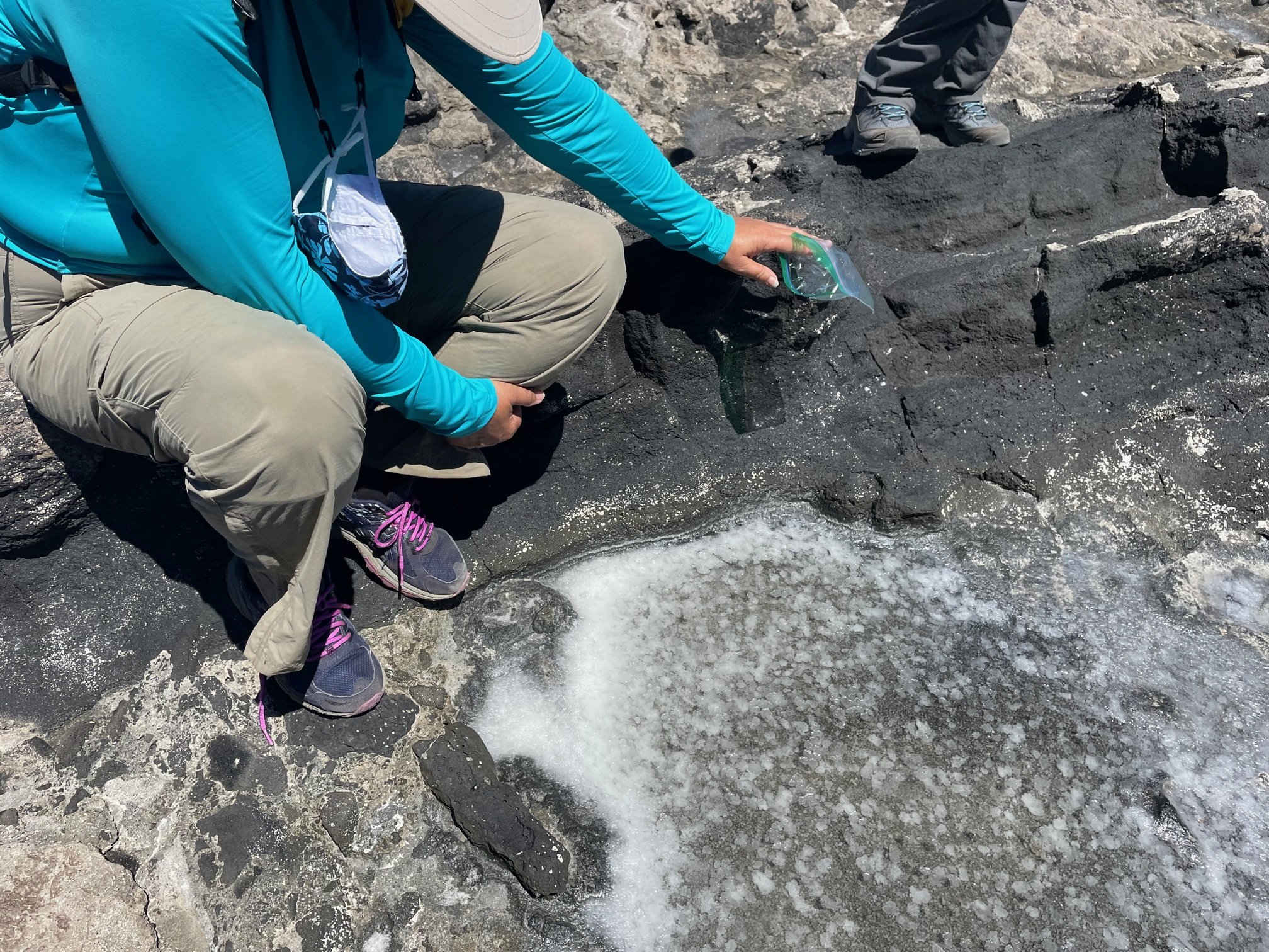
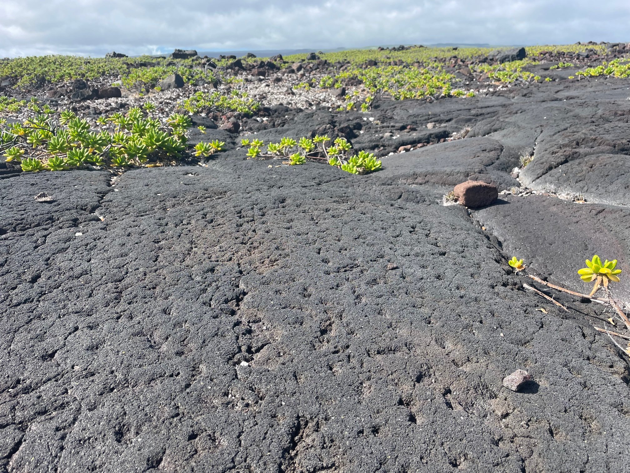
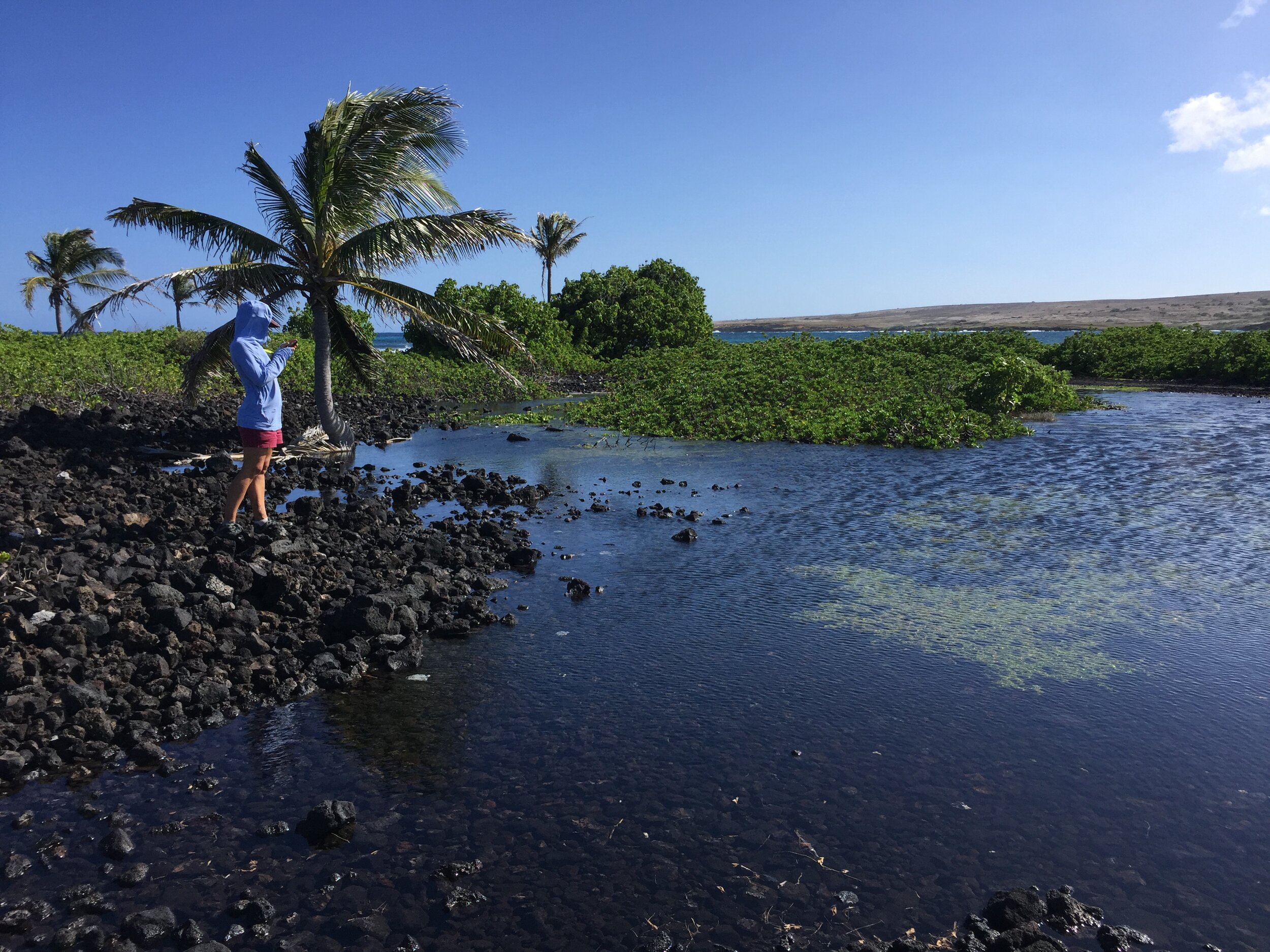
Rich in Native Hawaiian and paniolo (Hawaiian cowboy) cultural heritage, the ancient fishing village of Waikapuna includes house sites, heiau, lava tube caves, and ancient trails. It is surrounded by large stands of native coastal vegetation, tidepool complex, and sea caves.

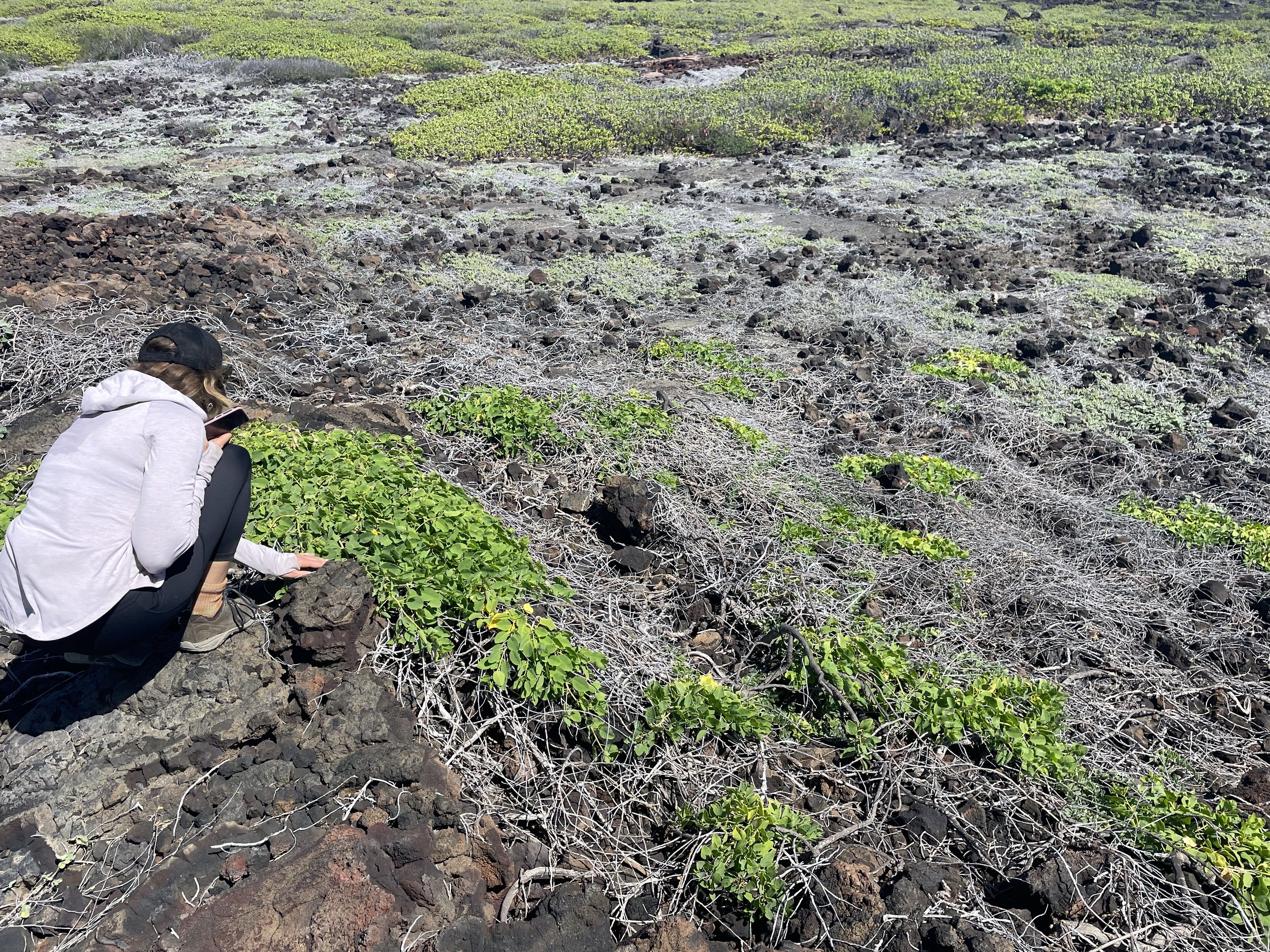
Management efforts include minimizing off-road vehicle traffic to protect the native plant species that naturally grow along the coastline of Waikapuna.

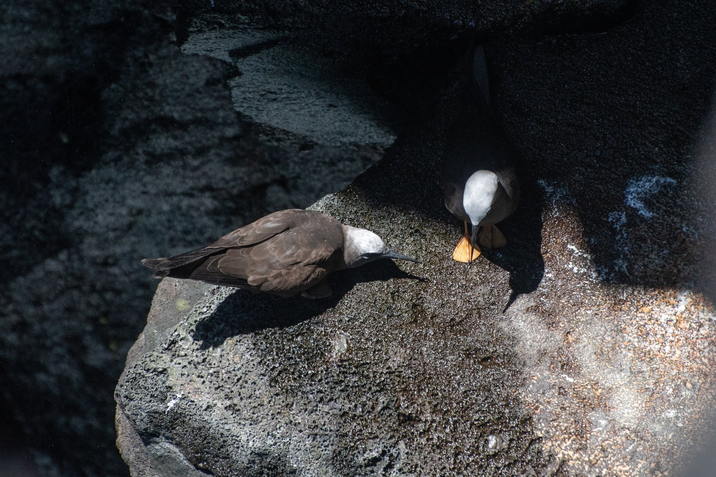
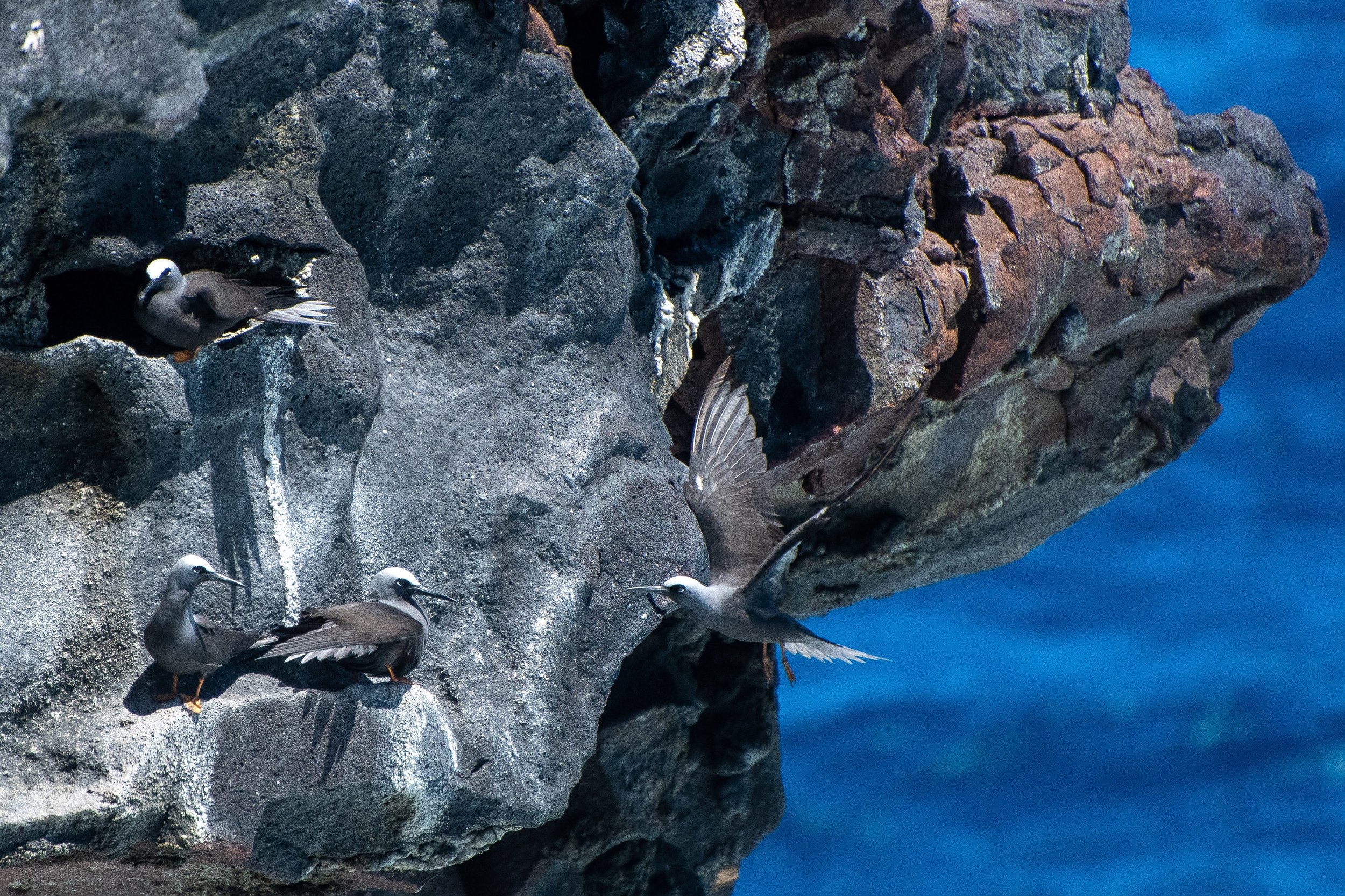
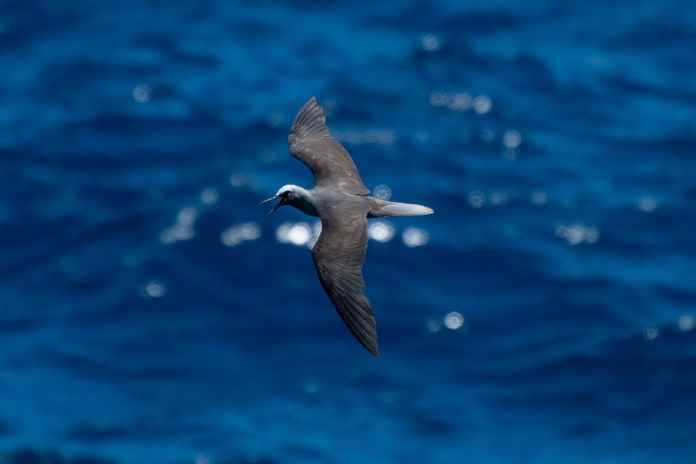
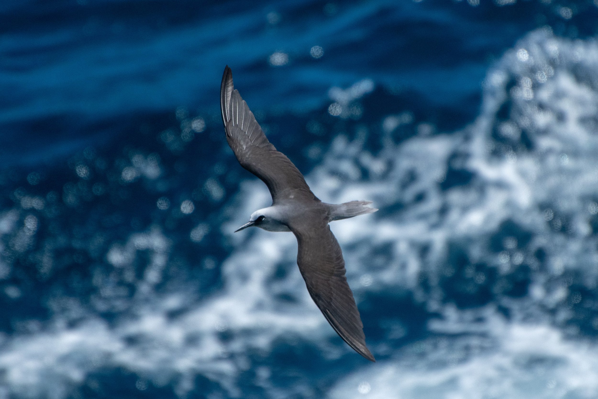
The Native endangered Noio (Anous minutus melanogenys) nests in the lava tubes and ledges along the cliff side of Waikapuna.
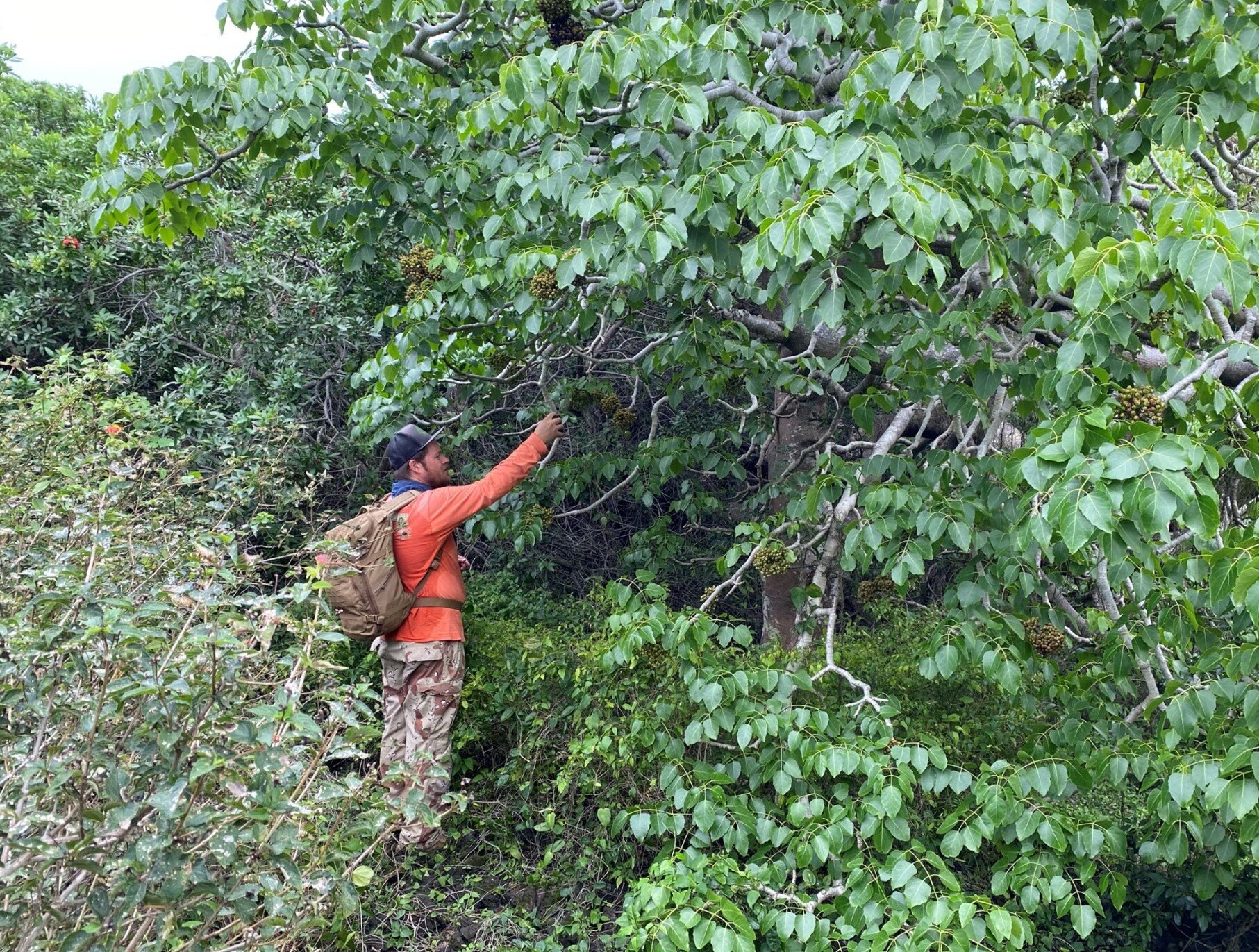
Capparis sandwichiana, the Native Hawaiian caper known as Maia pilo (Image, above), is an endemic sprawling shrub with white night blooming flowers that can be found along coastlines and in the open dry forests and shrublands. The flowers usually open in the evening and collapse with a pink-tinge by mid-morning.
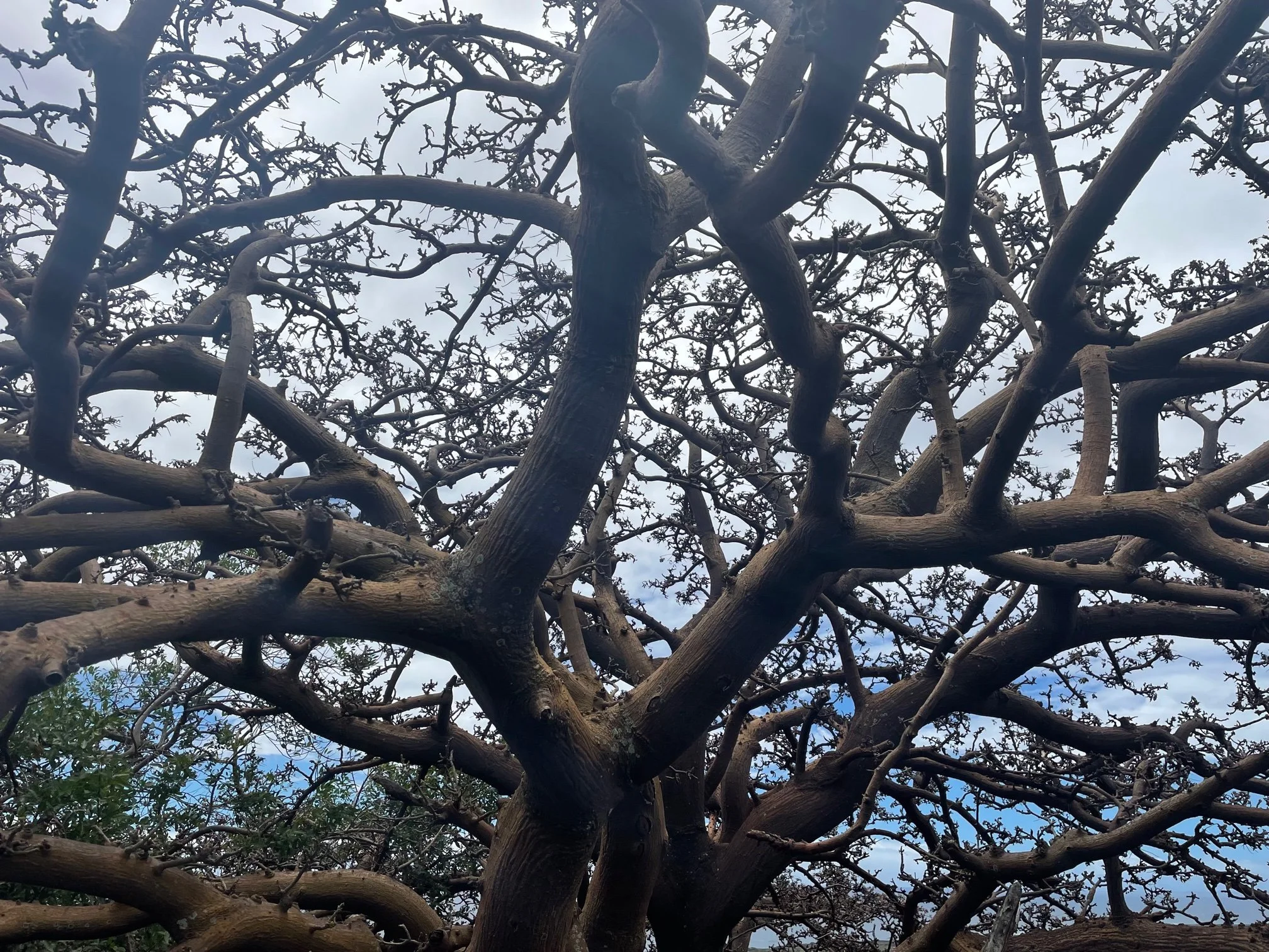
Wiliwili (Erythrina sandwicensis) is a tropical dry forest tree species endemic to Hawaiʻi that thrive in the harsh landscapes of Kaʻū.

The coastlines of Waikapuna are an intricate network of native flora and fauna, to be protected and cherished by our community.
These, along with other endemic and indigenous coastal species, are experiencing devastating population declines due to the various impacts of invasive species, as well as land degradation due to development and increased foot and off-road vehicle traffic.
Community planning
Have questions? contact us:
fox@alakahakaitrail.org
In 2021, the Ala Kahakai Trail Association began working with the community to develop a community management plan for Waikapuna.
The plan seeks to address cultural and natural resource management, cultural protocols, community stewardship, education and interpretation, road and trail maintenance, fire prevention measures and public access.
Areas we are particularly interested in hearing your input on:
Public access
Cultural practices
Educational opportunities for the family/community and marine resource management
Waikapuna was purchased in 2019 to protect it from subdivision development because the property consists of numerous cultural sites, including an ancient fishing village and a segment of the Alaloa footpath, large strands of native coastal plant species, and sea cliffs that provide habitat to endangered birds; and provides access to important nearshore resources that many local families still rely on for subsistence. The property also supports ranching, perpetuating Kaʻū’s paniolo heritage and contributing to the region’s agricultural economy.
The County of Hawaiʻi holds a Conservation Easement over Waikapuna with the purpose to:
“conserve, preserve, and protect in perpetuity the historic, cultural, agricultural, natural, marine, scenic, open space, fresh water, and native and endemic plant and animal habitat values of the Easement Property.”
ATA is required to establish a land management plan that is consistent with the purpose of the Waikapuna Conservation Easement and the State LLCP grant agreement.
The County of Hawaii hired a planning consultant, Townscape Inc., an environmental community planning company, to work with the Ka’u community to develop a resource management plan for Waikapuna. The plan will serve as a guide for future management and stewardship efforts. The property consists of numerous cultural sites, including an ancient fishing village and a segment of the Alaloa footpath, large strands of native coastal plant species, and sea cliffs that provide habitat to endangered birds; and provides access to important nearshore resources that many local families still rely on for subsistence. The property also supports ranching, perpetuating Kaʻū’s paniolo heritage and contributing to the region’s agricultural economy.

The entire community was invited to participate in the planning process. We enjoyed hearing your stories and suggestions on how we can protect Waikapuna together. Our hope is that Waikapuna will continue to provide our community with opportunities to honor our kupuna and to perpetuate connections to place for future generations. Mahalo to everyone who participated and shared mana’o about important resources, critical issues, and recommendations for stewardship.
A Community Meeting was held on Wednesday, January 26, 2022 via zoom to discuss the planning process and to identify resources and areas of concern.
A second Community Meeting was held on Wednesday, March 22, 2023 via zoom to present the draft management plan and to receive comments.
A hard copy of the final plan is now available at the Nāʻālehu Public Library and Pahala Public Library.
From the Community, For the Community

Mary Kawena Pukui (Above) Photograph By Ansel Adams c. 1958
Much of what we know today of Waikapuna is from the intimate knowledge and experiences of revered Hawaiian scholar Mary Kawena Pukui. Tūtū Pukui spent her childhood summers at Waikapuna with her grandmother, who passed on her precious cultural and familial knowledge that provided a foundation upon which the 20th century Hawaiian cultural renaissance and beyond has relied.
Pukuʻi continues to inspire a movement that celebrates Native Hawaiian identity. Her grandson, Laʻakea Suganuma wrote letters against the development proposal for Waikapuna, joining ATA in the effort to purchase these lands and ensure its long-term preservation.
“Waikapuna presented an unparalleled opportunity to preserve a set of cultural sites amid a strikingly beautiful landscape—one that is increasingly attractive to developers. It was a privilege to work with members of local organizations whose ancestors farmed and fished in this very location for many centuries.”

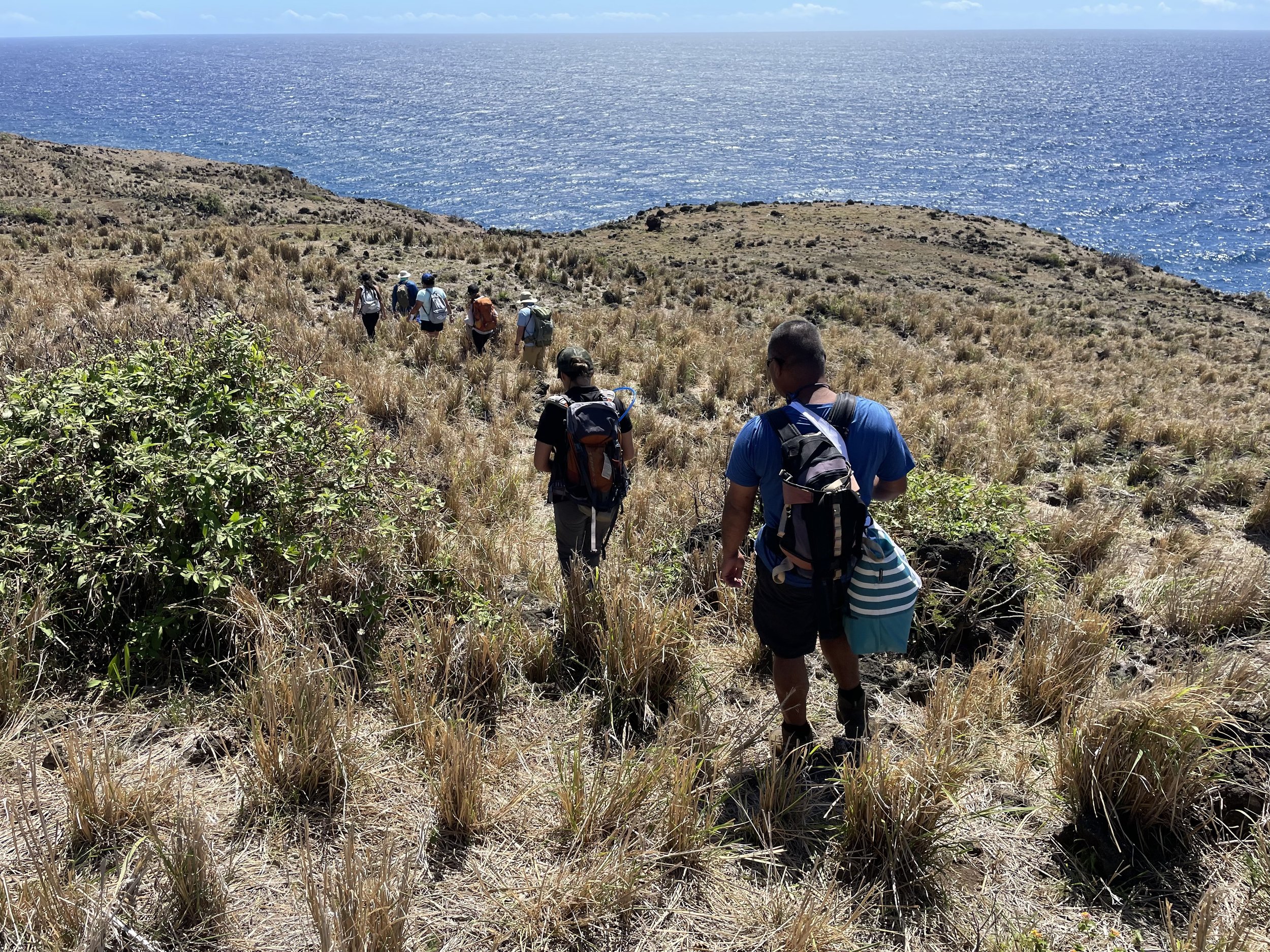
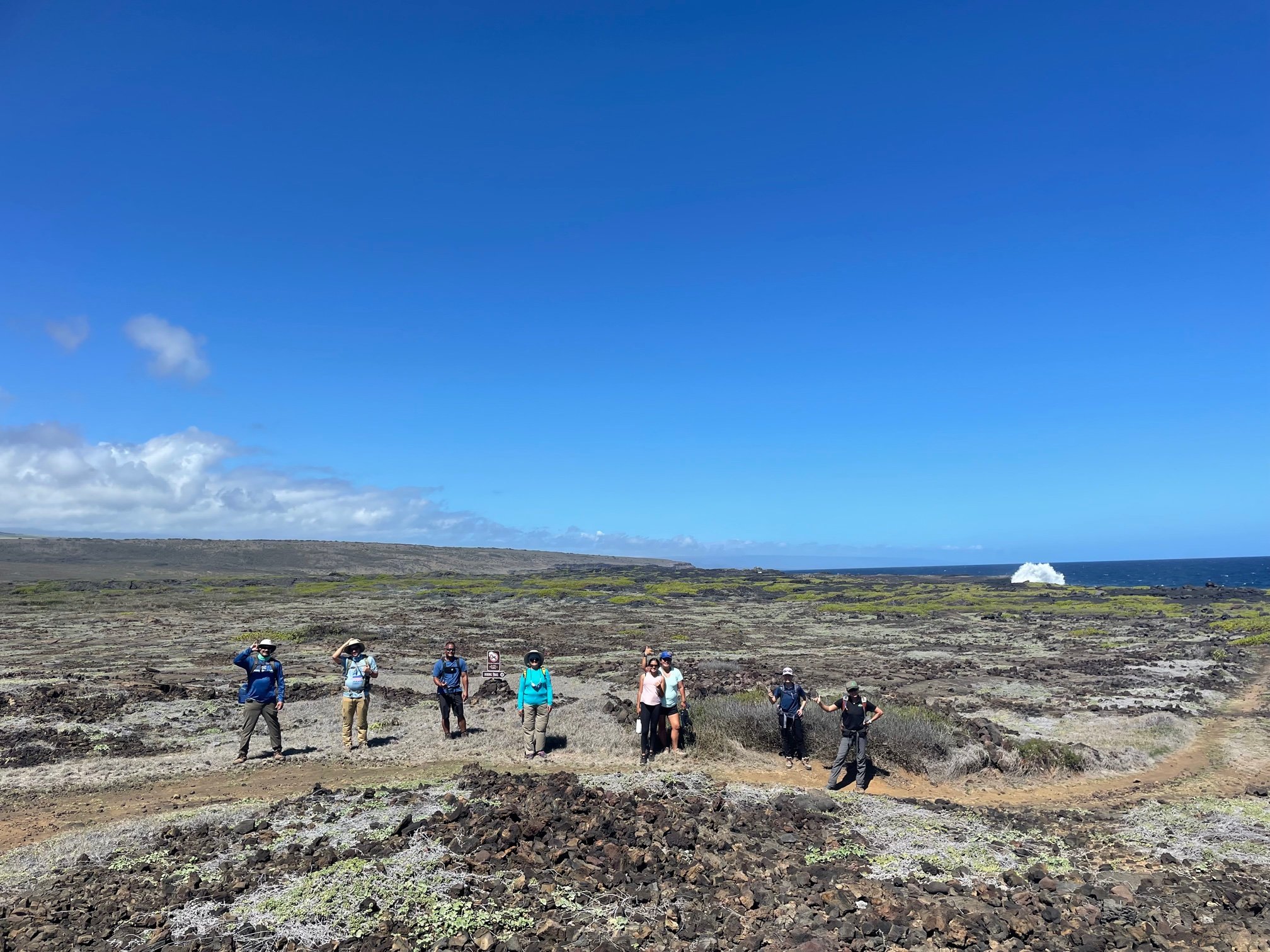
Waikapuna Stewardship Committee Member, Nohea Kaʻawa, shares with Kaʻū ʻohana as they join ATA on a hike along the trails.
The County of Hawaiʻi Public Access Open Space, and Natural Resources Preservation (PONC) Program, State of Hawaiʻi Department of Land and Natural Resources Legacy Land Conservation Program (LLCP), Kau Mahi LLC, the Trust for Public Land (TPL) and Ala Kahakai Trail Association have worked in tandem to ensure the long-term preservation of Waikapuna. Restricting the use of this wahi pana for agricultural and cultural preservation, Ala Kahakai Trail Association protects hundreds of Native Hawaiian cultural sites and native species habitat.
Hui ʻo Waikapuna
Waikapuna Stewardship Committee
Ala Kahakai Trail Association is committed to community-based stewardship and management of the trail as well as the associated cultural and natural resources of these ʻāina. A Stewardship Committee comprised of Ka‘ū leaders and residents has been formed to guide our stewardship and Community Management Planning process for Waikapuna. In the next few months, we hope to grow our committee as we initiate and implement the action items outlined in the community management plan.
Members: Keoni Fox, Shalan Crysdale, Nohea Kaawa, Michelle Galimba, Kaohi Mokuhalii, Jodie Rosam, megan lamson, pelehonuamea harman, and Leilani Rodrigues

Photo credit: The Nature Conservancy
Cultural Access
Pelehonuamea and daughter, Naliipoaimoku Harman visit the cultural landscape of their ʻohana. As descendants, their connection to place and use of the ancient trail systems today is the embodiment of what ATA seeks to support and protect.
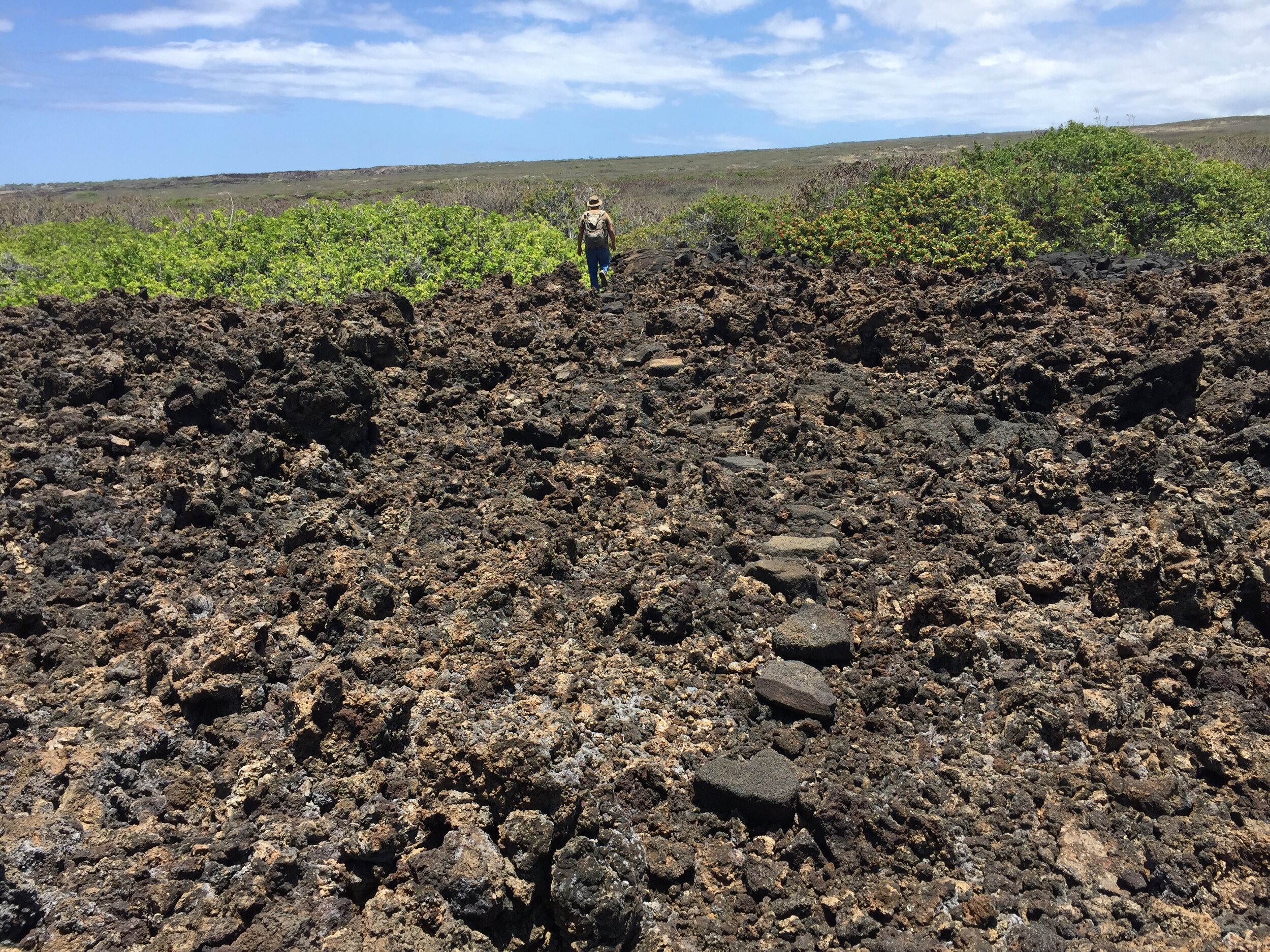
Pedestrian access into Waikapuna is open via the Ala Kahakai Trail which enters from adjacent State-owned lands to the south at Kamilo and north along the Maniania Pali at Kāwala. Vehicular access to the beach at Waikapuna Bay is provided via an access easement which crosses over the adjacent Kāwala property owned by Kuahiwi Ranch. The 4-mile long dirt ranch road leading to Waikapuna crosses through a series of cattle pastures and gates. No vehicular access is permitted from Kamilo or south of the white sand beach at Waikapuna.
A four-wheel drive vehicle with a high clearance is required to safely navigate the roads. Vehicular access is limited to one group with up to three vehicles per weekend. The responsible individual must demonstrate familiarity with the ranch roads and agree to be responsible for the actions of the others in the group.
kupuna access
We understand that kupuna may require additional support when visiting Waikapuna. For those kupuna in the Kaʻū community who need assistance with access in order to exercise traditional and customary practices please contact:
Kaohi Mokuhaliʻi
(808) 938-9040
*If you are unable to reach Aunty Kaohi at this number, please leave a message and she will return your call as soon as possible.
All individuals must sign a liability waiver and acknowledge rules respecting the natural and cultural resources.
Responsible stewardship needs to balance managed public access with the protection of cultural, environmental, and agricultural resources on this ʻāina.
Examples of adverse impacts due to unfettered, unmanaged access include: off road vehicles damaging and destroying cultural sites and native plants, looting and defacing cultural resources, dumping trash and human waste, and loss of native plants due to wildfires. The type of managed access that is best for this ʻāina will be determined by the Kaʻū community through a Community Management Plan.
frequently asked questions
How can the community and other nonprofits participate in decision-making, stewardship and management of Waikapuna?
ATA has a Ka‘ū-based Stewardship Committee which is comprised of Ka‘ū residents and descendants to guide our stewardship and community management planning process for Waikapuna. We support Kaʻū community members in their intent to join and/or partner with our Stewardship Committee and partner with us on community-based stewardship and management.
Will ATA be developing a Community Management Plan for Waikapuna?
Yes, In all of our public funding applications, we committed to developing a Community Management Plan within 18 months of closing, if the conservation acquisition is successful. The 18 months was built in because it is difficult to get funds for management planning unless you first “own” the land. Also, landowners would likely get upset if we started doing extensive community management planning on land that the private landowner still owns.
How can people access Waikapuna? Why is vehicular access managed and monitored?
Pedestrian/Hiking Access: Currently, there is open pedestrian access into Waikapuna via the Ala Kahakai Trail from the adjacent State-owned lands to the south at Kamilo and north at Kāwala. All members of the public have the right to use that trail access. There are no gates or fences along the entire 3.5 mile boundary between Waikapuna and the State-owned Waiʻōhinu property.
Vehicular access to Waikapuna Bay is provided via an access easement which crosses over the adjacent Kāwala property privately owned by Kuahiwi Ranch. The Ranch provides vehicular access to Waikapuna through their cattle gates located on the adjacent Kāwala property. The 4-mile long dirt road leading to Waikapuna crosses through a series of cattle pastures and gates. A four-wheel drive vehicle with a high clearance is required to safely navigate the road.
Why is ranching allowed at Waikapuna? How will ATA balance cattle grazing with protecting cultural and natural resources?
Both the State Legacy Land Program and the County PONC program are designed not just to protect cultural and natural resources but also agricultural resources. Preserving agricultural land is a core objective in the Kaʻū Community Development Plan (CDP). “Objective 2: Preserve prime and other viable agricultural lands and preserve and enhance viewscapes that exemplify Ka‘ū’s rural character.” “Objective 10: Encourage and enhance agriculture, ranching, and related economic infrastructure.” Keeping these lands in pasture supports the secure jobs in our rural community, diversifies our local economy, and contributes to our local food security and self-sufficiency, all of which have become even more critical during this pandemic. Grazing also keeps down grasses and vegetation that can fuel wildfires. For the most part, cattle tend to stay on the grassy, mauka portions of the property where they can graze and access drinking water, not on the dry makai sections of the property that are dominated by lava fields and cultural sites. Local ranch licensees are committed to working together with ATA and the broader community to ensure that cattle grazing can co-exist and complement the preservation of cultural and natural resources. This may include ranchers fencing culturally and environmentally sensitive areas and/or adjusting the location and acreage of a pasture license to keep cattle out of sensitive areas. We need the community’s help to identify sensitive sites that need to be protected.